|
Mapping
For each city a recent high-resolution satellite image is bought which is then digitized into an accurate detailed city map by the team of professional cartographers. When the cameral stage is completed, another team of cartographers is sent to the city to verify the map data by driving through each and every street. Later on, verification is done every month in the same manner by a local cartographer to make sure that all the changes in the city environment are registered. 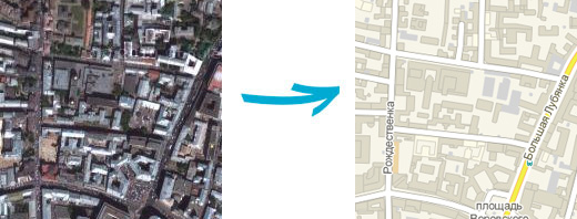
|
|
anketa_franchise@2gis.ru +7 (383) 363-0-555 (addl 10328) |

|